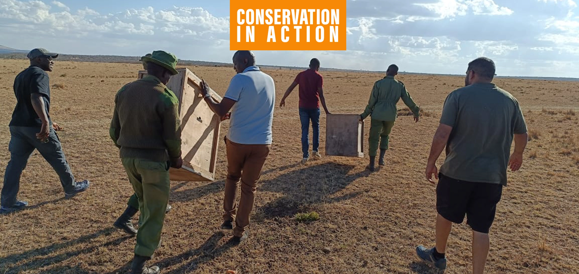
Science-based conservancy management begins with repeatable field measurements. On Naboisho, fixed-route transects are run quarterly in partnership with the Smithsonian Institution, bringing globally recognized expertise in long-term ecological monitoring. The collaboration strengthens survey design, observer training, quality assurance, and data systems to ensure consistent, decision-relevant outputs for management over time, from field deployment to reporting.
A line that samples a landscape
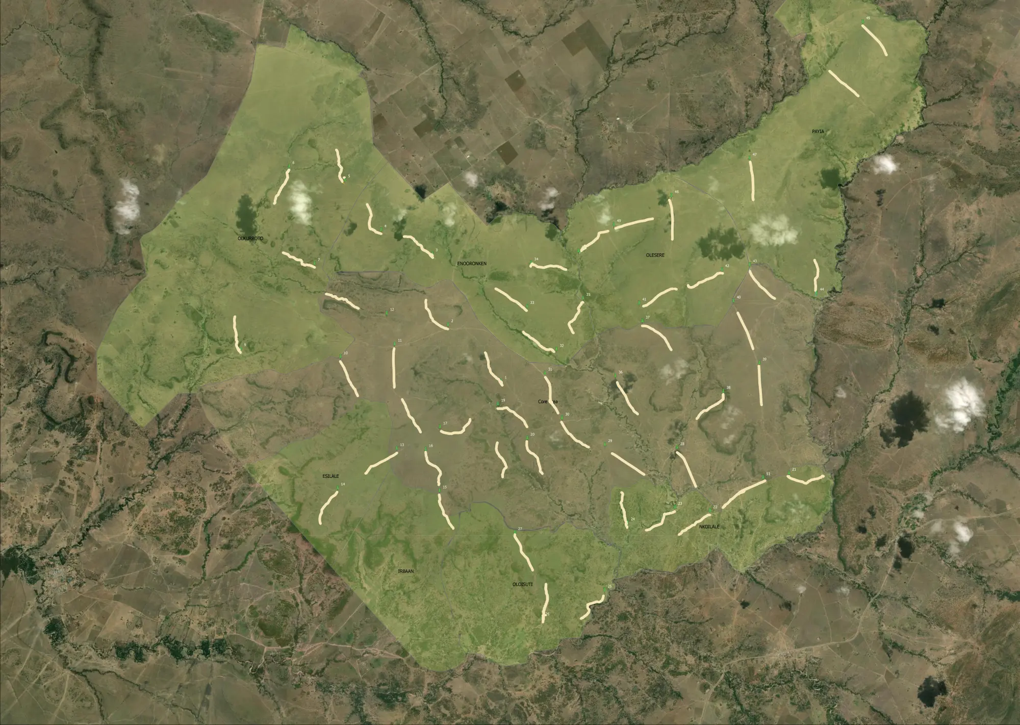
A transect is a fixed survey route along which wildlife abundance and spatial distribution are recorded. Naboisho’s transect design represents conditions across roughly 60,000 acres, comprising 51 transects of exactly 1 km each. Driving between and along the transects totals roughly 120 km, and a full run typically takes two days, starting at first light and concluding by late morning, when heat shimmer and behavioural shifts begin to reduce detectability.
Tools that turn sightings into data
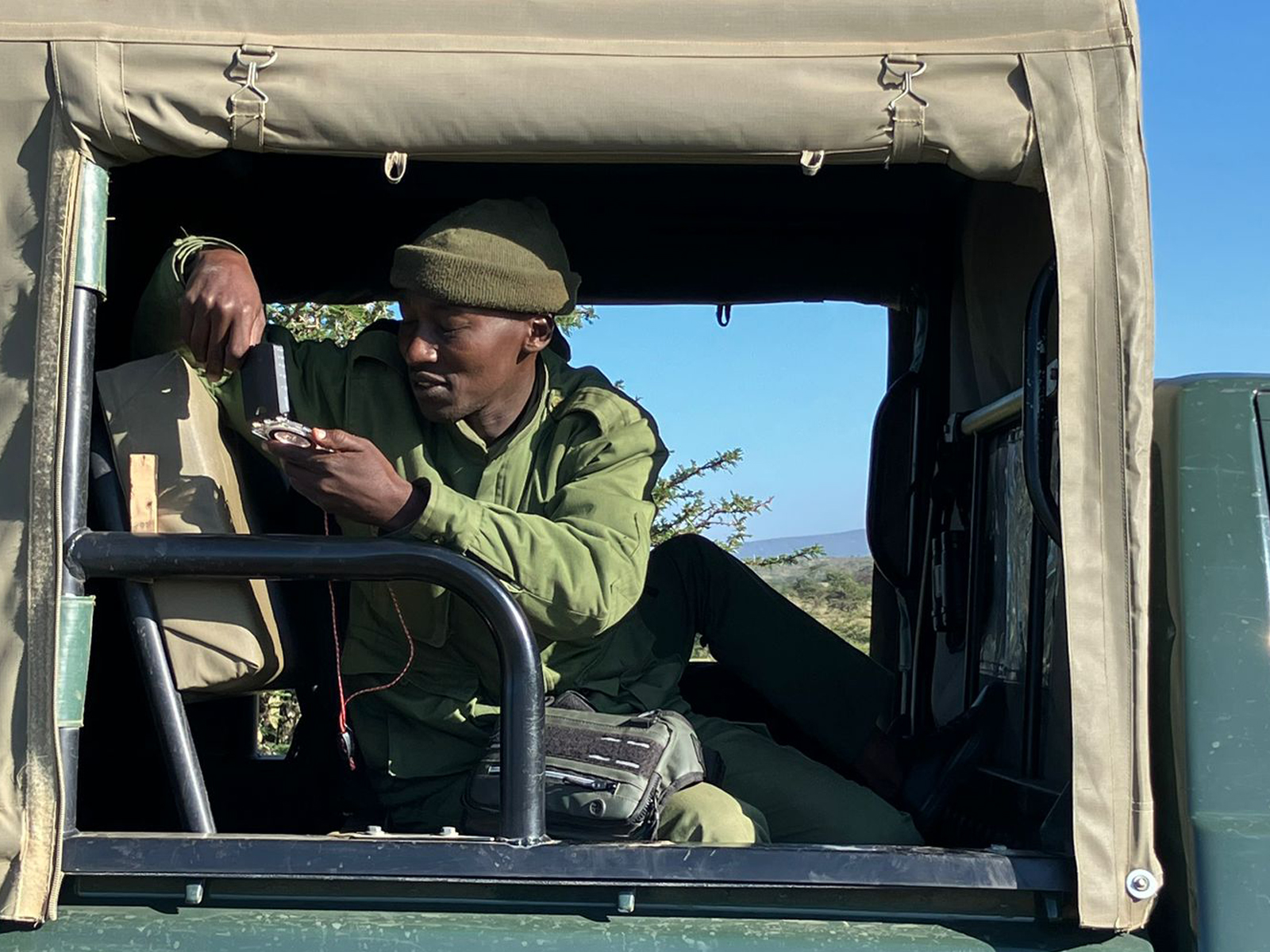
Transects are implemented with two vehicles, each carrying a trained six-person crew (field staff and rangers). Two observers scan and area of 500 meters from either side; detections trigger an immediate stop and standardized logging. Core instruments include binoculars, GPS, compass, and a laser rangefinder, supported by EarthRanger enabled phones for coordinated data entry. Each record captures species identity, group size, timestamp, georeferenced position, as well as age and sex class where feasible, all synced to the central dataset.
Ecosystem monitoring is built on multiple layers
Transects are one layer in a broader evidence stack designed to minimise monitoring gaps. Complementary data streams include camera traps, tagging where available, patrol and incident datasets, and invasive species and disturbance checks. Naboisho also maintains 40+ soil probe stations measuring soil moisture and temperature continuously, and is expanding vegetation monitoring to include grass density, height, and species composition at strategically located points. Integrated dashboards compile these streams for management use, supporting situational awareness and operational decision cycles.
Drone surveys vs ground transects
A frequent question is why we do not simply replace ground transects with drone surveys. Drones add value for targeted surveys and mapping distinct species in open habitat. Transects, by design, require consistent multi-species detection and classification across heterogeneous cover, including open, dense, and closed-canopy habitat. Key inputs remain difficult to derive reliably from aerial platforms, particularly under partial occlusion, mixed-species groups, and where age and sex structure is relevant. For that reason, boots on the ground remain the gold standard for ecosystem-wide transects.
From ranger eyes to decisions
Following collection, records move through quality checks and analysis; over time, linking transect outputs with rainfall, soil moisture, and vegetation measurements sharpens interpretation of ecosystem function and supports adaptive management. As datasets accumulate, AI-enabled analytics can move beyond description to prediction, identifying emerging risk patterns and forecasting likely shifts in habitat condition and wildlife distribution under different rainfall and grazing scenarios.
Measurement is action
Transects convert field observation into accountable evidence. Repeated sampling, paired with strong partnerships and layered monitoring, is the foundation for science-based ecosystem management and for building long term ecological resilience.